SPEED UP EVERY STEP OF YOUR DESIGN AND BUILD PROCESS
AEC Site Suite is a premier service for professionals in the Architecture, Engineering, and Construction domains. Dive deep into a world where high-definition Site Virtual Tours, Point Clouds, E57 files, intricate 3D Meshes, and detailed Layout Plans come together to offer unparalleled precision and insight. AEC Site Suite is the all-in-one service that every AEC professional needs.
EQUIPMENTS & TECHNOLOGIES
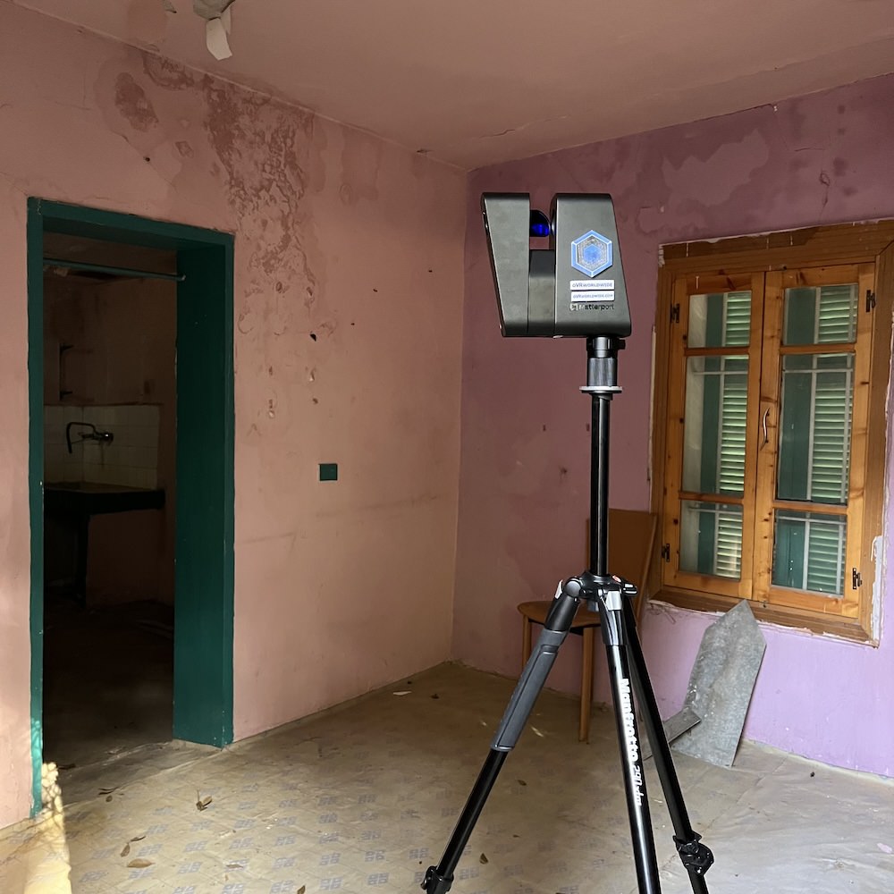
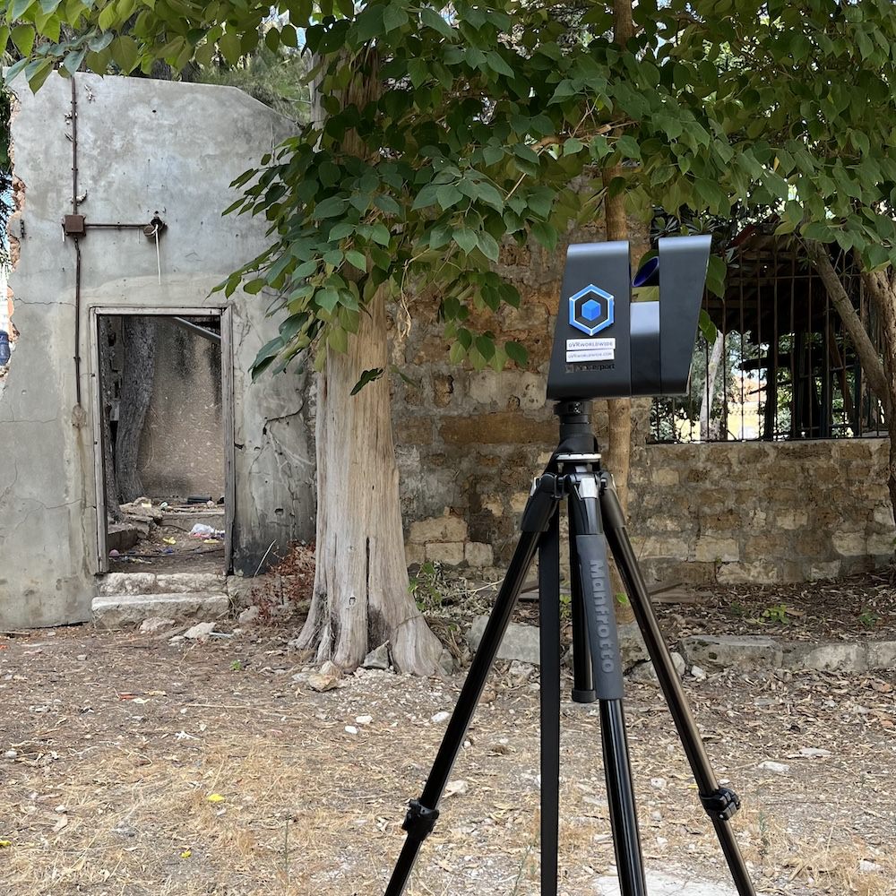
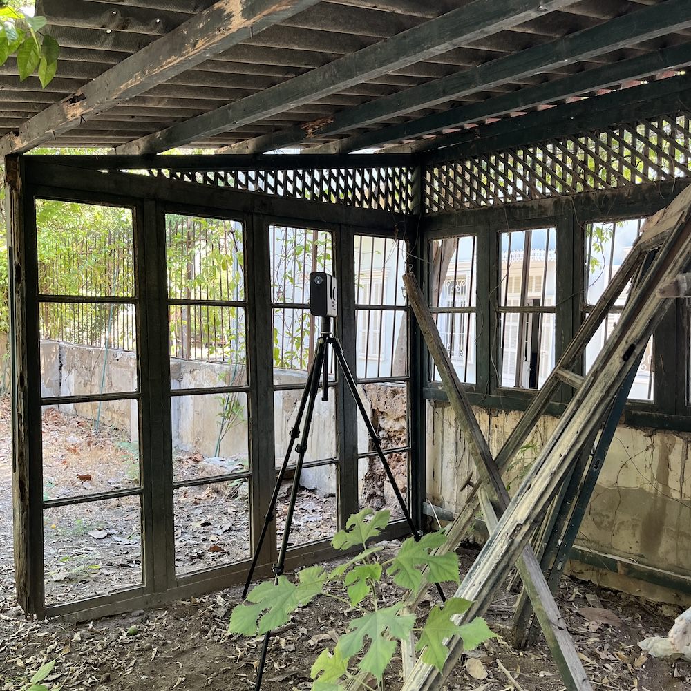
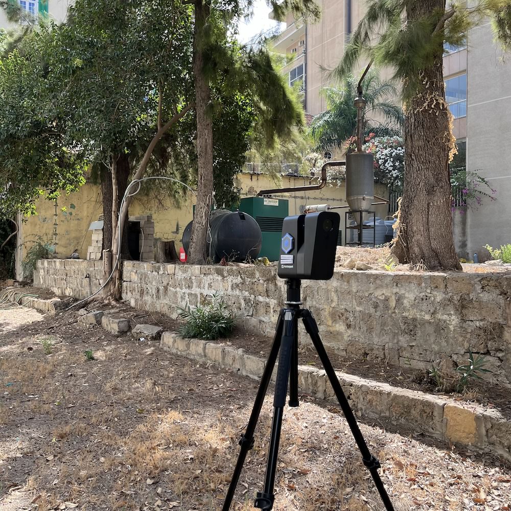
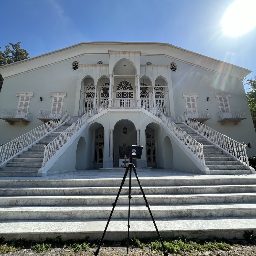
Using the latest 3D scanners with High-performance and high-precision LiDAR,
we capture 3D data up to 100 meters away and turn them into Architectural, Engineering, and Construction experiences and documents.
AEC Site suite in action
WHY AEC SITE SUITE
75%
decrease in in-person site visits from project stakeholders
70%
reduction in site survey costs and BIM file creation
30%
cost and time savings with increased collaboration and faster decision-making
75%
of project issues resolved without escalation
AEC SUITE OUTPUTS: BRINGING YOUR SITE TO LIFE
Discover our range of tangible assets. From detailed point clouds to immersive virtual tours, our deliverables offer a dynamic perspective, ensuring precision, clarity, and engagement in every project phase.
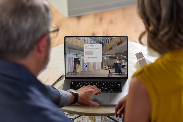
Less site visits More Virtual Visits
An interactive 3D walkthrough of the scanned site, allowing users to navigate and explore the space 24/7, virtually from any device.
Use: Ideal for remote site inspections, client presentations, and marketing purposes. It provides an immersive experience of the space, bridging the gap between digital representation and physical reality.
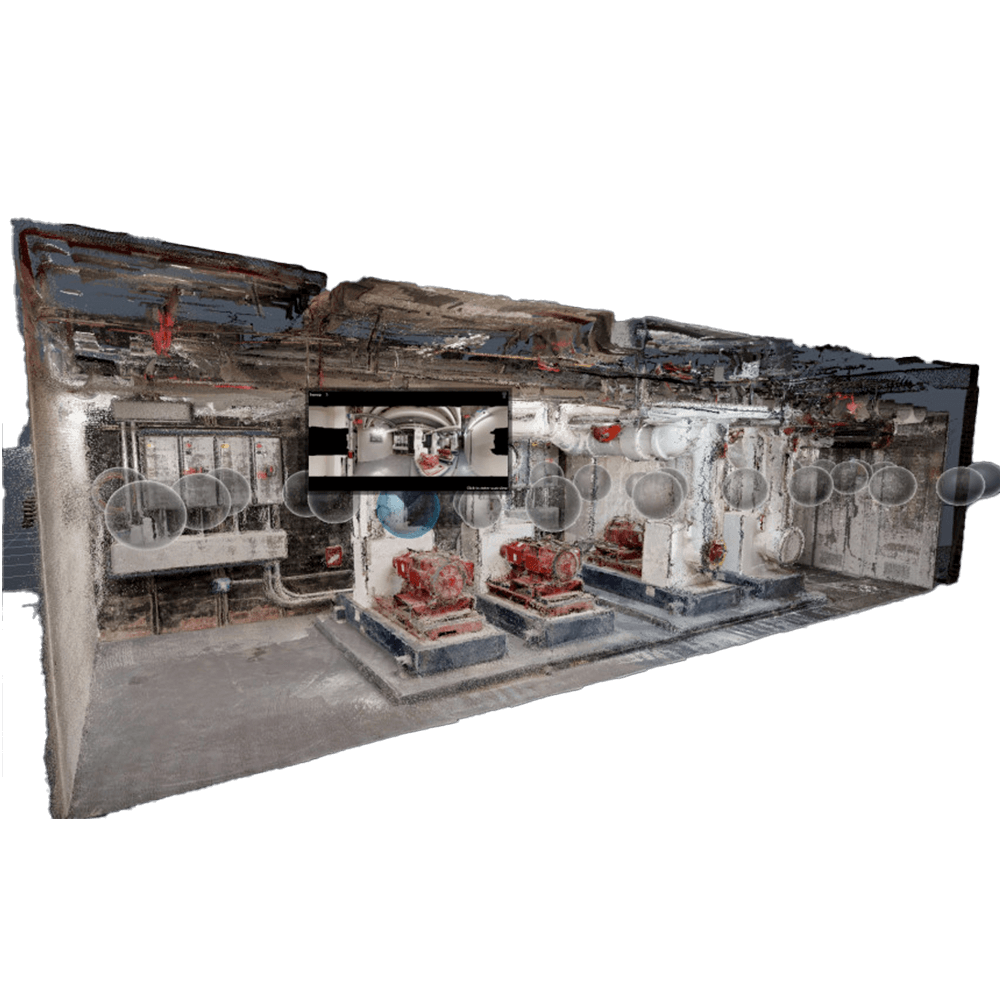
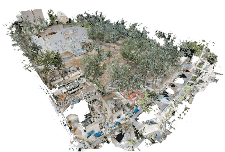
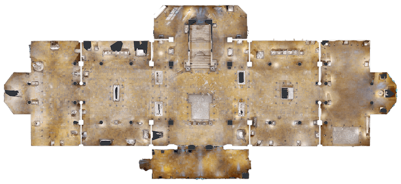
Point Cloud Data
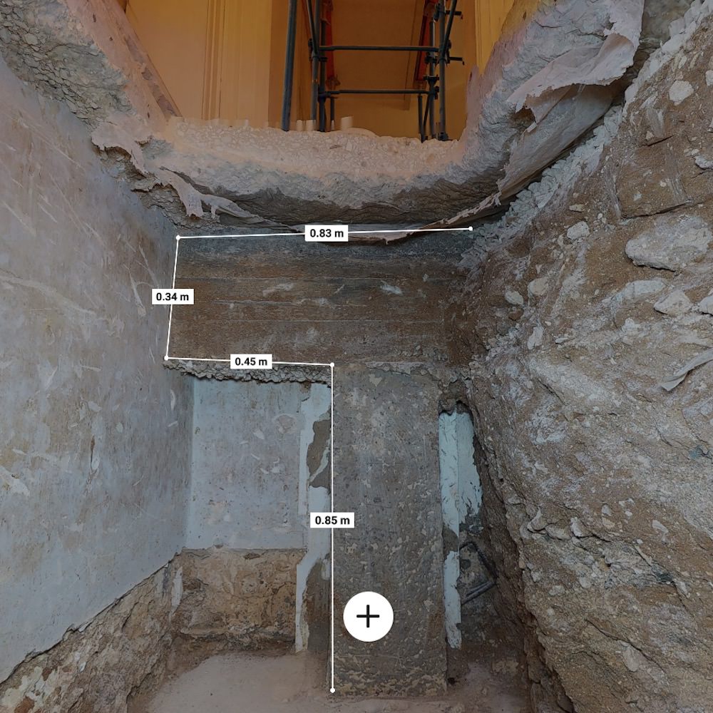
A dense collection of data points captured from the site, representing its three-dimensional shape and form.
Use: Useful for detailed site analysis, accurate measurements, and integration with various CAD and BIM software for design and engineering tasks.
E57 File
A standardized format for 3D scan data interchange. It contains rich information from the 3D scans including spatial coordinates and color data.
Use: Facilitates easy sharing and use of 3D data across different software platforms, ensuring interoperability in various stages of a project.
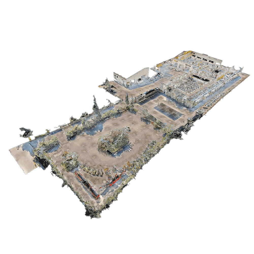
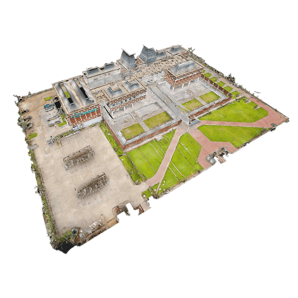
3D Mesh (with Texture Maps)
A digital representation of the site in the form of interconnected polygons, often combined with texture maps to add surface details and colors.
Use: Ideal for virtual walkthroughs, design visualization, and integration into virtual reality environments for immersive presentations or reviews.
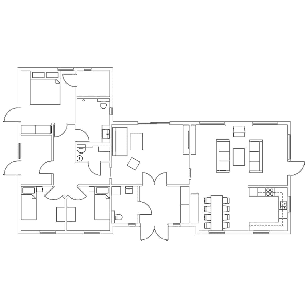
Layout Plans
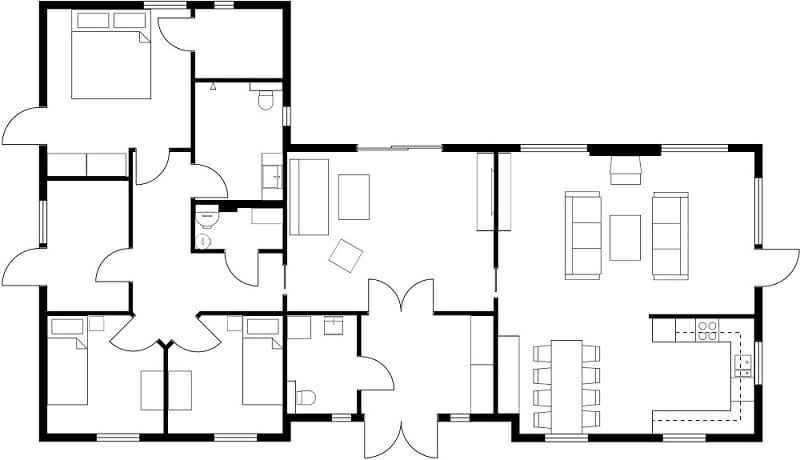
Detailed two-dimensional representations of the site layout, often including floor plans, reflected ceiling plans, and elevations.
Use: Essential for design, planning, and construction phases, providing a clear visual guide of the site’s structure and layout.
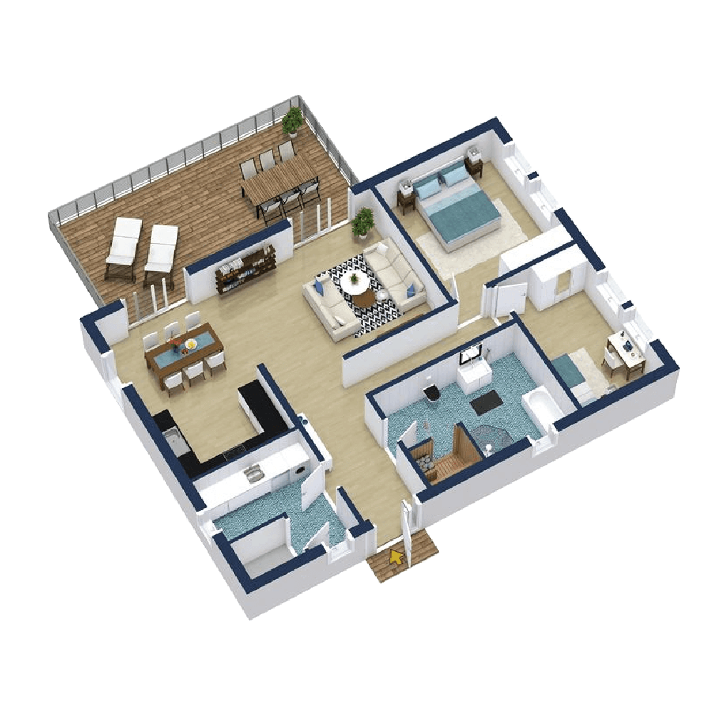
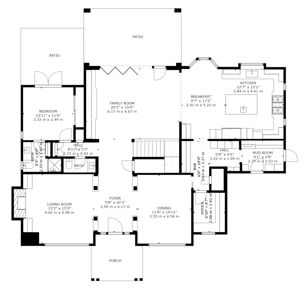
Schematic Floor Plans
Simplified representations of the floor layout, focusing on spatial arrangements, room sizes, and overall flow.
Use: Great for initial design discussions, space planning, and providing clients with a clear understanding of spatial relationships within the site.
High-Resolution Visualizations
Detailed and crisp visual renderings derived from the 3D scans, showcasing the site in its entirety or focusing on specific sections.
Use: Perfect for marketing materials, stakeholder presentations, or for providing clients with clear visuals of the project’s current or proposed state.
WATCH AEC SITE SUITE IN ACTION
GET IN TOUCH
READY TO GO VIRTUAL?
Our team will get in touch to discuss the service you are interested in.

